Wasdale Skyline Challenge
Tough event over some of the Lake's highest summits including Scafell Pike
Accessed from the iconic Wasdale Valley, this challenge completes a circuit around the main mountain summits of the Scafell massif and surrounding peaks. Although the distance is not that long compared with the other skyline challenges, it is easily equal to if not exceeds the Patterdale Skyline Challenge in toughness, due to the ruggedness of the terrain and the steepness of the ascents. Escape routes are limited along much of its length, with more involved navigation and route finding make it a more involved day. This is a medium to tough level of challenge for a one day event, being suitable for groups of a similar ability, having a high level of fitness, and completed a good degree of training before hand. Expect to be walking for around 8 to 10 hours, with the chance of climbing England’s highest mountain.
Experience of previous mountain walking and/or other challenge events is recommended, as steep ascents and descents on rocky and or loose ground will be encountered through the day. This challenge could be included as part of a 2 day weekend along with one of the other Skyline, Scrambler, or Challenge events.
We recommend that in the lead-up to this challenge, participants work on building up their stamina with weekly cardio-vascular exercise of a minimum of 1 hour per day, 5 days per week to build up their calf + quad muscles. We can help you prepare for this event – for information about our pre-selection / training day click here.
Itinerary
Arrival day
Check into your accommodation in Keswick or Wasdale followed by early evening team briefing. Alternatively, we can arrange transfers from Penrith or Oxenholme Rail Station.
Second day - Walking
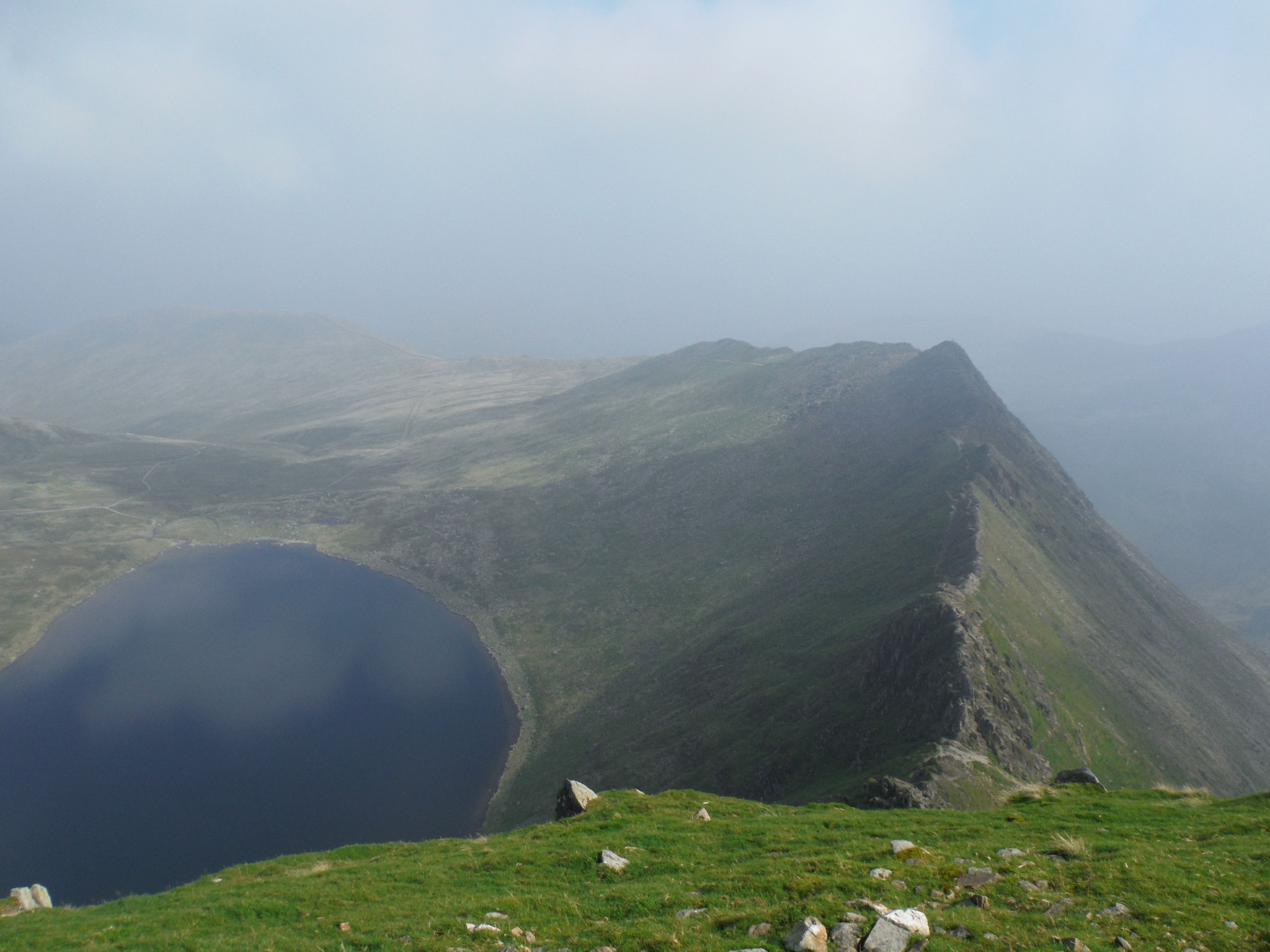
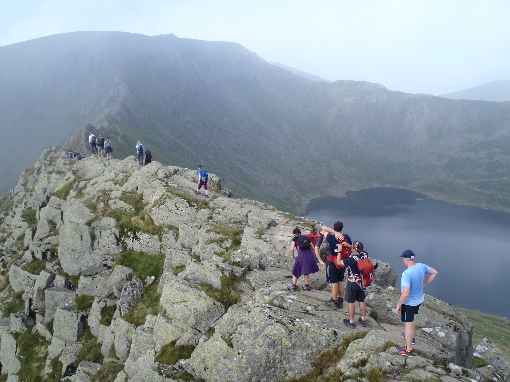
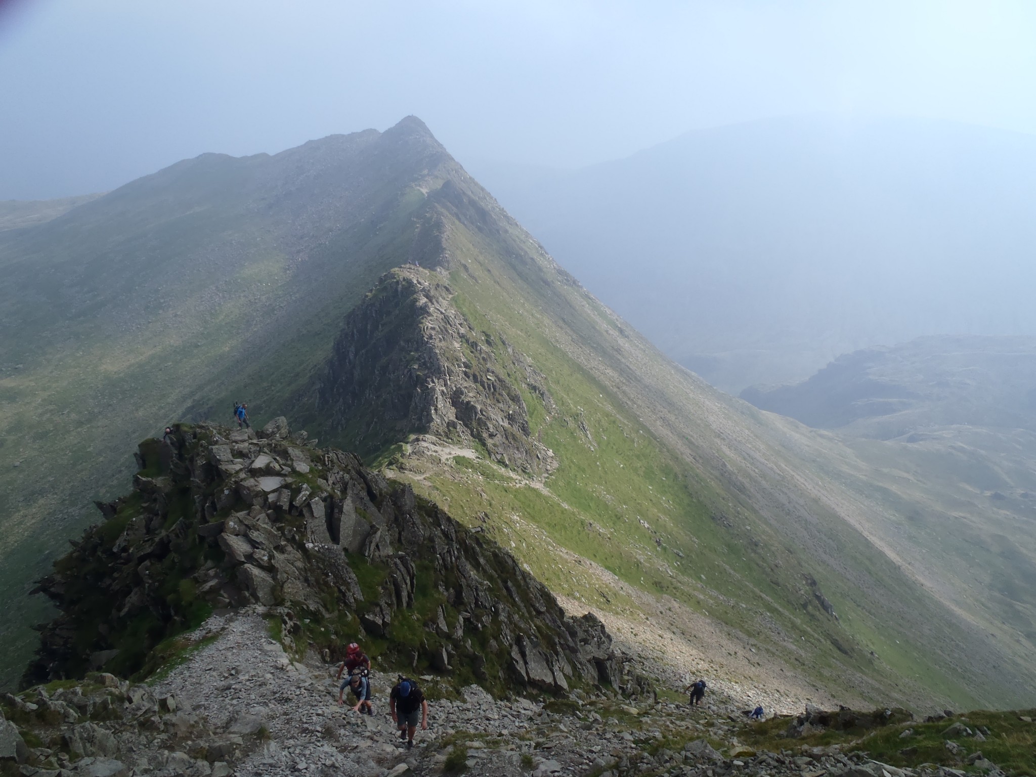
Leaving behind the small hamlet of Wasdale Head, we strike out along the Moses’ Trod into the mountains. Shortly we split off the main path to climb steeply up the south-west flanks of Great Gable to reach the col of Beck Head, then ascend further up steep and loose slopes to Great Gables summit (899m). Now dropping steeply down to Sty Head, before traversing passed Sprinkling Tarn, to climb to Great End (910m) by a more straight forward path. Continuing the journey south-west now across the broad flatter summits of III Crag (935m) and Broad crag (930m), loosing and gaining minimal height but with rugged walking in places, to descend into a col just below Scafell Pike. Now a steep and rough ascent takes us to the summit of Scafell Pike (978m), the highest summit in England. Still heading south-west, we drop down to Broad Stand, then a further steep rough decent down its north-east side a short way before traversing back upwards again to Foxes Tarn is needed to get around the impressive Scafell Crags, leading upwards to Sca Fell’s summit (964m). The last summit gained, with no more uphill, a long decent down its east slopes is made via Green How, to reach the National Trust car park at the foot of Lingmell Gill.
Total distance 15.6km, Total Ascent 1753m, Total Descent 1755m, Target Time 8-10hrs
Duration: 1 Day
Activities: Walking
Suitable for: Private or corporate teams looking for a charity fundraiser, personal development and/or team building event.
Comments: A medium to tough event on mixed terrain suitable for groups with a similar high level of fitness. Our second toughest Skyline route due to the ruggedness of the terrain and steep ascents.
Prices from: £275
Call: 017687 75337
Booking Enquiry

Package Prices
Standard
Guest House – bed & breakfast + packed lunch
15% off Cotswold voucher
Head torches and Trekking poles included
Price is per person
Budget
Hostel – bed & breakfast + packed lunch
15% off Cotswold voucher
Head torches and Trekking poles included
Price is per person
Premium
Hotel – bed & breakfast + packed lunch
15% off Cotswold voucher
Head torches and Trekking poles included
Price is per person